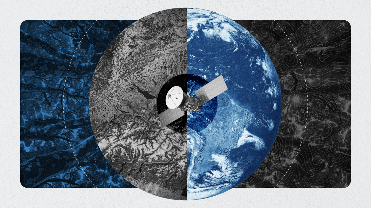
For over a decade, the World Resources Institute (WRI) has been dedicated to protecting and restoring forests, farmland, and ecosystems through partnerships with local businesses, governments, and nonprofits. Transparency is at the heart of their mission—without accurate, relevant, and affordable data, it’s impossible to gauge the real-world impact of billions invested in environmental preservation. Since 2014, WRI has operated Global Forest Watch, the leading forest monitoring platform that uses satellite data to track changes in land use. Their latest findings are alarming: tropical primary forests vanished at a rate equivalent to 18 soccer fields per minute in 2024. To enhance future datasets, Meta and WRI researchers leveraged Meta’s DINOv2 foundation model to map global tree canopy height with unprecedented precision.

The next step involves applying this technology to monitor local forest restoration and agroforestry initiatives. WRI established TerraFund in partnership with One Tree Planted and Realize Impact, funding numerous small-scale projects across Africa to regrow forests and revitalize farms. Launched in 2022 with seed funding from the Bezos Earth Fund and Meta’s support, this initiative addresses a critical gap: while existing data can detect the loss of large trees, tracking newly planted saplings is challenging due to their slow growth and visibility from space. Partners needed scalable, cost-effective solutions to evaluate thousands of project sites across 27 African countries, requiring the ability to count and monitor individual trees as they develop.
Collaborating with Meta, John Brandt—WRI’s data science lead for restoration and part of the Land & Carbon Lab—employed DINOv3 to create an algorithm that accurately counts trees using drone and satellite imagery. By training the model with high-resolution data and geospatial boundaries from TerraFund projects, the team achieved remarkable results. Saplings can be detected as early as eight months after planting and monitored continuously. Comparing algorithm outputs with self-reported project data allows WRI to verify success and allocate additional funding to high-performing initiatives. This open-source, pre-trained model aligns with WRI’s values of partnership and collective impact, enabling customization for diverse needs. Beyond tree growth, the Land & Carbon Lab plans to use DINOv3 for scalable, low-cost monitoring and land-use planning across all ecosystems, boosting efficiency and reducing expenses.
Traditionally, custom models were built for each satellite, posing a significant challenge for WRI, which uses six different satellites for various tasks. This required extensive data preparation and optimization for each model. DINOv2 introduced universal image embeddings, but DINOv3 takes it further by enabling seamless data analysis across multiple satellites and drones without custom models. For example, in a Kenyan region, DINOv3 reduced the average error in tree canopy height measurement from 4.1 meters to just 1.2 meters, a more than 20% improvement over DINOv2. This accuracy is vital for understanding global carbon budgets and verifying climate finance projects. Brandt notes that DINOv3 simplifies workflows by replacing multiple components with a single, robust backbone, allowing teams to focus on ecosystem protection and restoration.

The advent of faster, more precise monitoring is revolutionizing how restoration progress is tracked, unlocking new potential for scaling and investment. The Bezos Earth Fund’s $1 billion commitment to land restoration has catalyzed this shift, supporting innovations that enhance accessibility. Emily Averna of the Bezos Earth Fund emphasizes that open-source tools like DINOv3 promote transparency and accountability. She highlights that even local NGOs in rural Kenya can now generate high-resolution forest recovery maps with a laptop and minimal cloud credits, transforming restoration from a speculative effort into a measurable, trustworthy process. This collaboration among philanthropies, the private sector, and NGOs demonstrates how joint efforts can drive tangible benefits for people and the planet.
By linking $61 million in investments across Africa, Brazil, and India with these advanced techniques, WRI shows that even small accuracy gains can boost transaction volumes, helping funds reach smaller organizations. Brandt expresses excitement about having a robust model that supports larger financial transactions in the climate market, underscoring the transformative impact of this technology on global environmental efforts.

